Synopsis:
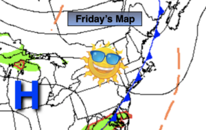
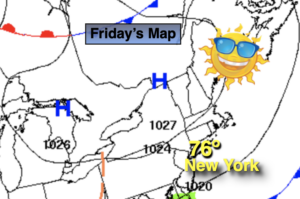
A front will push offshore this morning. Clouds will give way to mostly sunny skies. High pressure will build in from Canada. This will result in much lower humidity. You will notice the difference! Seasonal temperatures are expected. The average high is 77º.
Tonight will be clear and much cooler. Give the AC a well-deserved break. Lows will dip into the upper 40s inland.
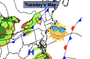
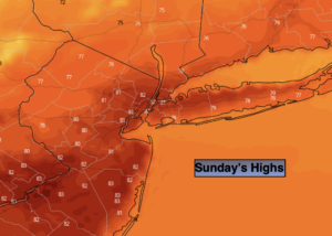
The beginning of the weekend be pleasant and much cooler under mainly sunny skies. Saturday will be the better half of the weekend. Sunday’s forecast is looking much more optimistic with sun giving way to clouds. Spotty afternoon showers are possible, but the threat of widespread showers has been taken out of the forecast. It may even remain dry the entire day.
Monday will be warm under mostly sunny skies. A significant cool front will move through by Tuesday. It will have a Fall feel with readings only near 70º with abundant sunshine.
Stay Tuned.
Keep it here for a no nonsense, no hype forecast.
Today:
Morning clouds, otherwise becoming mostly sunny and less humid. Highs in the mid to upper 70s. North to Northeast winds at 8-12mph.
Tonight:
Clear and much cooler. Lows 60º in urban areas, the 50s and upper 40s inland. Northeast winds at 5mph.
Saturday:
Sunny. Cool. Highs in the lower 70s.
Sunday:
Sun to clouds. Spotty afternoon showers are possible during the afternoon. Highs in the upper 70s.
Monday:
Mostly sunny. Warm. Highs around 80º.
Tuesday:
Sunny and much cooler. Highs around 70º.