Synopsis:
As we head back to work and school our fine late Summer weather will continue. High pressure will move off the coast and the wind will blow form the South. This will result in a slight increase in humidity levels through midweek. The sun will dominate today and Wednesday. Readings will be above the average high of 78º by a few degrees.
On Thursday a cool front will approach. It will be mostly cloudy and humid with scattered showers.
High pressure will build in from Canada on Friday. Mainly sunny skies and seasonal temperatures are expected with much lower humidity. The beginning of the weekend will have a Fall feel under mainly sunny skies.
Stay Tuned.
Keep it here for a no nonsense, no hype forecast.
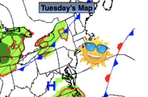
Today:
Mostly sunny. Highs in the lower to mid 80s. Southeast winds at 5mph.
Tonight:
Partly cloudy. Lows in the upper 60s in the City, the 50s and 60s inland. Southeast to East winds less than 5mph.
Wednesday:
Partly sunny. Highs in the lower 80s.
Thursday:
Mostly cloudy. Scattered showers. Highs around 80º.
Friday:
Mostly sunny. Cooler and less humid. Highs in the upper 70s.
Saturday:
Mostly sunny. Cool. Highs in the mid 70s.