Synopsis:
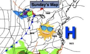
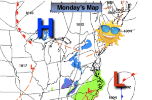
Cold sunshine is expected through midweek as a persistent Northwesterly flow continues. A storm will develop off the Carolinas today and not affect areas up the coast. High pressure will dominate much of the week.
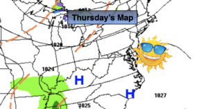
By Thursday temperatures will finally get just above average with abundant sun as a West to Southwest wind develops. Hanukkah begins at sundown Thursday.
Friday also looks like a winner with readings a few degrees above the average high of 48º.
Stay Tuned.
Keep it here for a no nonsense, no hype forecast.
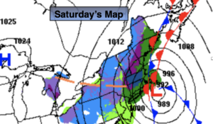
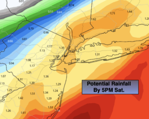
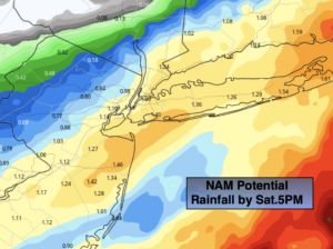
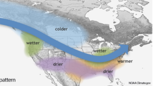
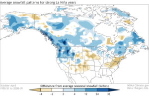
A strong La Nina pattern will be occurring this Winter. I’m not the biggest fan of long range, but thought I’d share with you a couple of graphics. Yes, snowfall is typical below below average, but all it takes is that “right” setup for a snowstorm.
Today:
Mostly sunny. Chilly. High around 40º. Northwest winds at 5-10mph.
Tonight:
Clear and cold. Lows around 30º in the City, the 20º to 28º inland. Northwest winds at 5-10mph.
Tuesday
Mostly sunny. High around 40º.
Wednesday:
Partly sunny. High in the lower to mid 40s.
Thursday:
Mostly sunny. Milder. Highs near 50º.
Friday:
Sunny. Highs around 50º.