Synopsis:
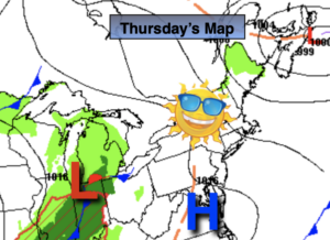
Today will be the best day out of the bunch as high pressure dominates. Skies will be mainly sunny with pleasant readings.
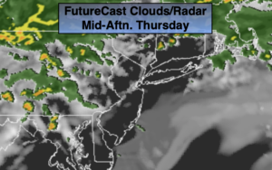
Friday may start off with a bit of sun but clouds will roll later in the day in as low pressure develops offshore and upper level energy move toward the region.
Mother’s Day Weekend will be a 50/50 split. Scattered showers are in the forecast for Saturday as the last piece of energy with the upper level low moves off the coast. The Mother’s Day forecast has become more optimistic. A mix of sun and clouds is expected. Skies may become overcast late as a warm front approaches but, at this time, the daylight hours should be dry. Temperatures this weekend will be cooler than average.
Monday looks wet as the front moves in.
Stay tuned.
Keep it here for a no nonsense, no hype forecast
Today:
Mostly sunny. Highs in the mid 60s. Northwest winds at 10-15mph.
Tonight:
Clear to partly cloudy. Chilly. Lows in the upper 40s in the City, the 30s to 40s inland. Northwest to Northeast winds less than 5mph.
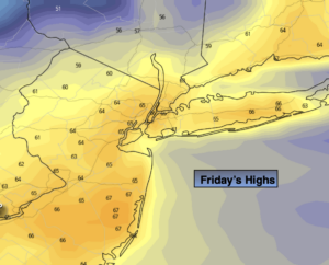
Friday:
Sun & clouds. Highs in the lower to mid 60s.
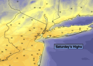
Saturday:
Scattered showers. Cool. Highs in the upper 50s.
Mother’s Day:
Sun and clouds. becoming overcast late day. Highs in the lower to mid 60s.
Monday:
Periods of rain. Highs in the lower 60s.