Synopsis:
There will be a hiccup in the Labor Day Weekend. Its a tough chore to get three sunny, warm days for the holiday weekend and this year will be no different.
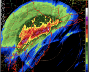
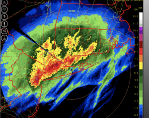
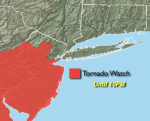
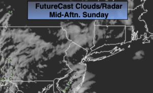
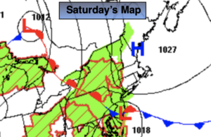
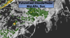
A low pressure disturbance will move through today. This will result in more clouds (a bit of sun) today with scattered showers. It won’t be a washout and there will dry times. Readings will be several degrees below the average high of 80º.
Morning clouds (and a coastal early shower) will give way to a beautiful Labor Day. Readings will get to just above average and it will become a day to be outdoors.
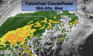
Rosh Hashanah on Tuesday will bright and seasonally warm. Wednesday will feature a mix of sun and clouds with spotty afternoon showers as a cool front approaches.
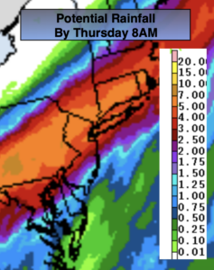
Clouds and sun are expected for Thursday with comfortable temperatures.
Keep it here for a no nonsense, no hype forecast.
Stay tuned.
Today:
Mainly cloudy. Scattered showers. There will be dry times. Highs in the mid 70s. South winds at 5-10mph.
Tonight:
Spotty shower, otherwise mostly cloudy. Lows in the mid 60s in the City, the upper 50s to around 60º inland. Southwest to West winds under 5mph.
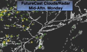
Labor Day Monday:
Early morning clouds will give way to sunny skies. Warm. Highs in the lower to mid 80s.
Tuesday:
Sunny. Highs around 80º.
Wednesday:
Sun and clouds. Scattered afternoon showers. Highs around 80º.
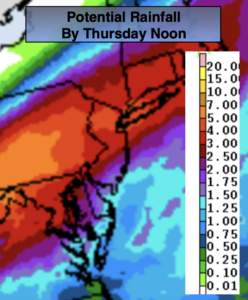
Thursday:
Clouds will give way to partly sunny skies. Highs in the upper 70s.