Synopsis
We’ll cool off some today but still be well above average with temperatures. The average is in the upper 30s to around 40º. A mix of sun and clouds is expected.
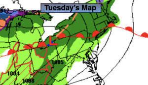
Tonight and Friday a weak low over our region and strengthen slightly as it moves off the New England coast. Scattered showers are possible tonight with a chance of spotty showers on Friday. A mix of clouds and sun is expected. The cooldown will continue.
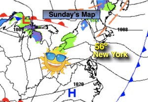
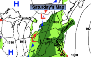
The upcoming weekend looks decent still for January as high pressure moves in. Yep, you guessed it readings will be above average, by a couple degrees anyway.
A weak disturbance will move through Sunday night with the possibility of a few snow showers.
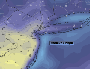
Any clouds Monday should give way to partly sunny skies. Readings will still be tolerable.
Stay tuned.
Keep it here for a no hype, no nonsense forecast.
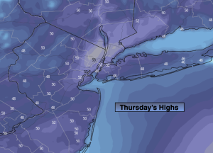
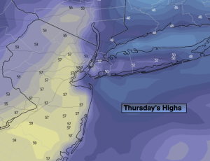
Thursday:
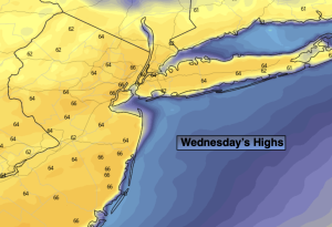
Sun and clouds. Still mild. Highs in the mid 50s. Northeast winds at 5mph.
Tonight:
Scattered showers. Lows around 40º in the City, the 30s inland. East to Northeast winds at 5mph.
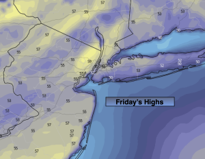
Friday:
Spot shower, otherwise clouds and sun. Highs in the mid to upper 40s.
Saturday:
Sun and clouds. Highs in the mid 40s.
Sunday:
Sun to clouds. Highs around 40º.
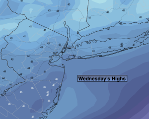
Monday:
Clouds to sun. Highs in the lower to mid 40s.