Synopsis:
The weather should cooperate for most of Mother’s Day. A mix of sun and clouds is expected. It’ll be warm. Scattered showers and an isolated thundershower is possible during the afternoon. The majority of the day will be dry.
Scattered showers are likely tonight as a cool front moves through.
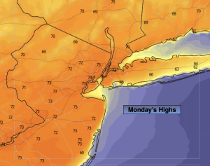
High pressure will influence our weather Monday and Tuesday. It will be pleasant with temperatures several degrees below the average high of 70º.
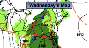
Midweek will feature a cool front approaching the region. Any sun Wednesday will give way to clouds and possible afternoon showers. The shower threat will continue into a part of Thursday as the system moves offshore. Below average temperatures will continue.
Stay tuned.
Keep it here for a no nonsense, no hype forecast…
Mother’s Day:
Sun and clouds. Warm. Isolated showers or thundershowers during the mid to late afternoon. Highs in the mid 70s. Winds becoming Northwest at 5-10mph.
Tonight:
Mostly cloudy. Scattered showers. Lows around 50º in the City, the 40s inland. North winds at 5-10mph.
Monday:
Sun and clouds. Highs in the mid 60s.
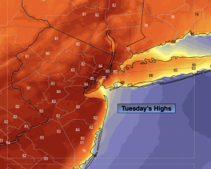
Tuesday:
Sunny. Pleasant. Highs in the mid 60s.
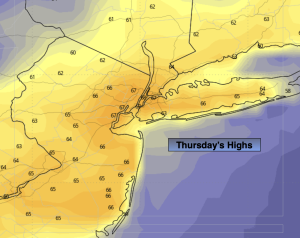
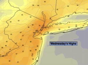
Wednesday:
Sun to clouds. Chance of afternoon showers. Highs in the mid 60s.
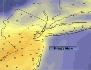
Wednesday:
Partly cloudy. Scattered showers possible. Highs in the mid 60s.