Synopsis:
The week will start off bright and comfortable as high pressure moves overhead. Readings will be a few degrees below the average high of the mid 80s.
A warm front will move toward the area on Tuesday. Mostly cloudy skies are expected with the chance of afternoon storms. Some of the storms may become strong to severe.
Scattered showers are possible Wednesday as a cool front will be slow to move offshore. Some afternoon sun is likely.
Thursday and Friday will feature sunshine and comfortable temperatures as high pressure dominates the Northeast.
Stay tuned.
Keep it here for a no nonsense, no hype forecast….
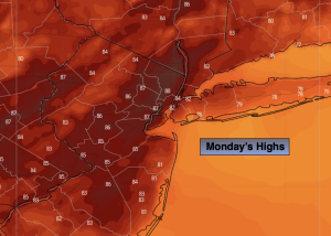
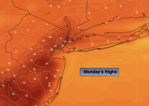
Monday:
Sunny. Highs in the lower 80s. Southeast winds at 5-10mph.
Tonight:
Clear early, partly cloudy late. Lows around 70º in the City, the 60s inland. Southeast winds at 5mph.
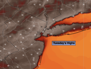
Tuesday:
Mostly cloudy. Chance of afternoon storms. Highs in the lower 80s.
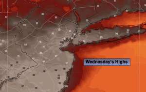
Wednesday:
Scattered showers. Some afternoon sun. Highs in the lower 80s.
Thursday:
Sunny. Highs in the lower 80s.
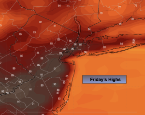
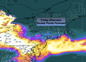
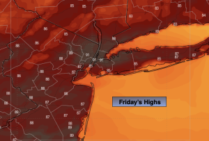
Friday:
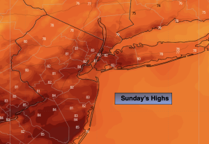
Sunny. Highs in the lower to mid 80s.