Synopsis:
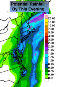
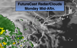
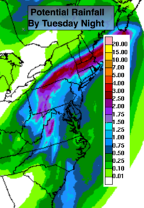
High pressure over the Canadian maritimes along with a trough of low pressure moving toward the East coast will result in periods of rain today. The steadiest and heaviest rain will be in the morning. Local downpours are likely. The map above shows the possible rainfall expected by this evening. The heaviest will be over Northern areas where one to two inches is likely. The rain will taper off to scattered showers from South to North from mid-day on.
By Wednesday, a cool front will approach the region with scattered showers and possibly a thunderstorm. There maybe a large window of dry time and possibly some sun. It will be humid.
Seasonal, pleasant conditions are expected for the end of the week.
You know where to find a no hype, no nonsense forecast.
Stay tuned.
Today:
Steady rain in the morning. The rain could be heavy at times, especially North. Rain becoming showery from mid-day on from South to North. A spot storm is possible. Highs in the lower 70s. Southeast at 10-20mph and diminishing.
Tonight:
Cloudy with patchy fog. Muggy. Lows around 70º in the City, the 60s inland. Southeast to Southwest less than 5mph..
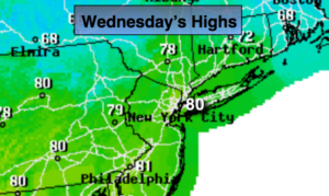
Wednesday:
Clouds and some sun. Warmer and more humid with scattered showers and possibly a thunderstorm. There will be dry times. Highs near 80º.
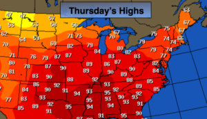
Thursday:
Partly sunny. Highs in the lower 70s.
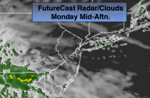
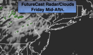
Friday:
Partly sunny. Highs in the lower 70s.
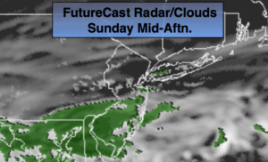
Saturday:
Sunny. Highs in the mid 70s.
Keep it here for a no nonsense, no hype forecast.