Synopsis:
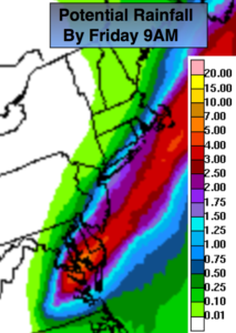
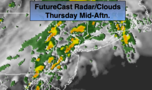
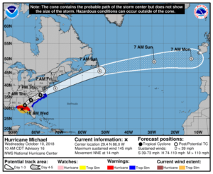
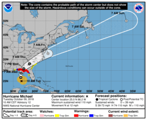
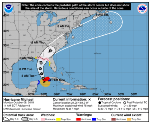
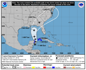
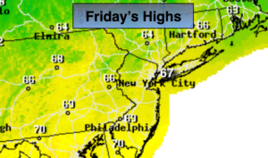
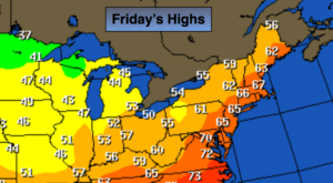
Tropical Storm Michael has lost its tropical characteristics and is a powerful extra tropical low moving rapidly away from the East coast. The rain taper off early this morning with Eastern Long Island being the last to dry out by mid-morning. The sun will return along with much cooler and less humid conditions. Temperatures will finally be near the average high of 66º. It’ll be windy especially at the coast. Northwest winds will be at 15-30mph with gusts to 50mph at times at the coast this morning.
Tonight will be will start off mostly clear but a weak disturbance from the West will rapidly move in. Clouds will increase and showers are likely after midnight. It will be the coolest night of the season so far with readings in the 40s throughout!
The weekend will be chilly with readings actually below average for a change. A few showers are possible Saturday morning with the sun returning during the afternoon. Sunday will be the better half of the weekend with plenty of sun as high pressure dominates.
You know where to find a no hype, no nonsense forecast.
Stay tuned.
Today:
Early morning rain at the coast, otherwise becoming mostly sunny. Much cooler, windy and less humid. Highs in the mid 60s. Northwest winds at 15-30mph with gusts to 50mph this morning at the coast.
Tonight:
Clear early. Clouds will roll in and showers are likely after midnight. Much colder. Lows in the 40s throughout. Northwest wind diminishing to 5-10mph.
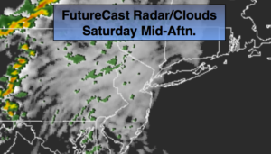
Saturday:
Showers possible during the morning, otherwise becoming partly sunny. Very cool. Highs in the upper 50s.
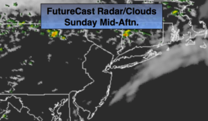
Sunday:
Mostly sunny & cool. Highs around 60º.
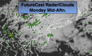
Monday:
Early sun to afternoon showers. Highs in the mid 60s.
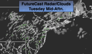
Tuesday:
Partly sunny, chilly. Highs in the upper 50s.
Keep it here for a no nonsense, no hype forecast.