Synopsis:
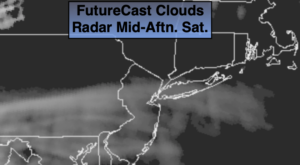
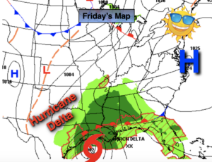
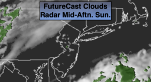
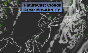
Clouds will win the battle today as the remnants of Hurricane Delta move our way (the system is nothing but a rainmaker now). It will still be seasonal with readings in the mid to upper 60s.. Scattered showers will develop this evening and become a steady rain tonight. The rain will be heavy at times through Columbus Day. One to two inches of rain is possible. It will be raw and breezy as well. A book/movie type of day.
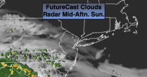
Tuesday will start off grey but the sun will return as high pressure moves our way from the Ohio Valley.
Wednesday and Thursday will be gems with abundant sunshine and mild readings.
Stay Tuned.
Keep it here for a no nonsense, no hype forecast.
Today:
More clouds than sun. Seasonal. Highs in the mid to upper 60s. Northeast winds at 5-10mph.
Tonight:
Cloudy with scattered evening showers becoming a steady rain. Lows in the lower 50s in the City, the upper 40s inland. Northeast to East winds increasing to 15-25mph.
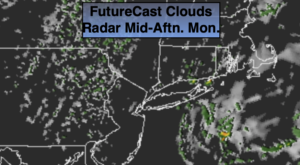
Monday:
Periods of rain. Possibly heavy at times. Breezy and much cooler. Highs in the mid to upper 50s.
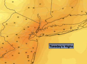
Tuesday:
Early morning clouds will give way to sunny skies. Highs in the upper 60s.
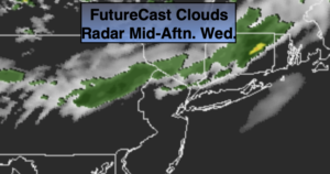
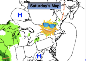
Wednesday:
Sunny. Highs around 70º.
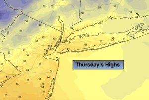
Thursday:
Mostly sunny. Highs in the lower 70s.