Synopsis:
Today and Thursday will feature plenty of sun. Below average readings are expected both days. Tomorrow will actually be chilly with a gusty Northwest wind and an airmass saying hello from Canada.
March’s finale on Friday will be tranquil. March will go out like a lamb. Sun and clouds are expected with milder readings.
April’s debut will be warm. Showers are possible, especially in the morning on Saturday as strong low pressure moves into the Great Lakes. A balmy Southerly wind will prevail (with readings around 70) and this ain’t no joke on April Fool’s Day. Sunday will be the cooler half of the weekend with another Canadian airmass moving in, at least it’ll be sunny.
Stay tuned.
Keep it here for a no nonsense, no hype forecast.
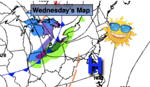
Wednesday:
Sunny. Highs in the lower 50s. North to Southwest winds at 5-10mph.
Tonight:
Partly cloudy. A quick passing shower just after midnight. Lows in the 30s, the upper 20s to around 30º inland. Northwest winds increasing to 15-30mph late.
Thursday:
Sunny, breezy and cooler. Highs in the upper 40s.
Friday:
Sun to clouds. Highs in the mid to upper 50s.
Saturday:
Mainly cloudy. Warm. Showers threat. Highs around 70º.
Sunday:
Sunny. Much cooler. Highs around 50º.