Synopsis:
Early clouds will give way to some sun today as systems remain weak over the Northeast.
A strengthening storm will move off the Carolina coast Thursday. This will result in increasingly strong winds under a mix of sun and clouds. Readings will remain just above freezing. It will be harsh out by the afternoon.
Arctic high pressure will funnel in the coldest air of the season so far on Friday. Mainly sunny skies are expected with a biting wind.
On Saturday the winds will have abated some as the cold high settles over the region. Abundant sunshine is expected with readings remaining below freezing.
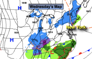
By Sunday, all eyes will turn to a developing system to our South. Sun should give way to increasing afternoon clouds. I am keeping Sunday afternoon snow-free at this time. You will be hearing a lot of chatter about a possible storm into Monday. Take anyone’s forecast that far out with a grain of salt. You know my motto: Keep it here for a no nonsense, no hype forecast.
Stay Tuned.
Today:
Early morning clouds, otherwise a mix of sun and clouds. Highs around 40º. Northwest winds at 5-10mph.
Tonight:
Partly cloudy. Lows in the upper 20s in the City, near 20º inland. Northwest 5-10mph.
Thursday:
Sun and clouds, windy and cold. Highs in the mid 30s during the morning. Temperatures will fall during the afternoon.
Friday:
Mostly sunny, windy and very cold. Highs only in the mid 20s. Wind chills in the single digits and teens.
Saturday:
Sunny and cold. Highs in the upper 20s.
Sunday:
Sun to clouds. Highs around freezing.