Synopsis:
High pressure will work in from Southeastern Canada today. Any morning clouds and spotty showers will give way to some sun. Seasonal temperatures are expected.
A low in the Western Atlantic continues to play havoc with meteorologists for mid and late week. I am more confident now that on and off rain will be with us for Wednesday as the storm throws moisture well ahead of it. The models then are all over the place with its placement and track of this storm Thursday and Friday. The GFS model has virtually little to no rain over the region with the low farther offshore. The European is more robust. This model brings steady and heavier rains and high winds into the region Thursday into a part of Friday, especially for the coast. It’s a tough call. Just be aware that the potential is there for stormy conditions late week. This is no way etched in stone. Check back with JMW for the very latest.
Stay Tuned.
Keep it here for a no nonsense, no hype forecast.
Today:
AM Clouds and spotty showers to some sun. Highs in the mid to upper 60s. Northeast winds at 10-15mph.
Tonight:
Mostly cloudy and cool. Lows in the lower 50s in the City, the 40s inland. North winds at 10-15mph.
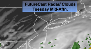
Wednesday:
Cloudy with on and off rain. Much cooler and breezy. Highs in the upper 50s.
Thursday:
Mostly cloudy. Potential for showers or a period of rain. Windy. Highs in the mid 60s.
Friday:
Mostly cloudy. Potential for showers or a period of rain. Windy. Highs in the mid 60s.
Saturday:
Morning clouds giving way to afternoon sun. Highs in the mid to upper 60s.