Synopsis:
An unusually cold airmass will be over the Northeast through today with a persistent Northwesterly flow from Canada. The sun will finally make an appearance and winds won’t be as strong.
Temperatures will finally reach 40º by tomorrow as the storm over Eastern Canada loses its influence on our area. The average high is 50º.
A disorganized area of low pressure will work in from the Ohio Valley Friday night and Saturday. At this time, light rain, or a mix of wet snow and rain is possible.
Stay Tuned.
Today:
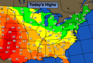
Partly sunny, breezy and cold. Highs in the lower 30s. West Northwest wind at 15-25mph.
Tonight:
Mostly clear and very cold. Lows in the mid 20s in the City, teens inland. Northwest winds at 10-15mph.
Friday:
Mostly sunny. Not as harsh. Highs around 40º.
Saturday:
Rain and or wet snow showers, otherwise mostly cloudy. Highs in the lower 40s.
Sunday:
Partly sunny. Highs in the lower 40s.
Monday:
Mostly cloudy. Highs in the mid 40s. Spring arrives at 6:28am.
Stay Tuned.
Keep it here for a no nonsense, no hype forecast.