Synopsis:.
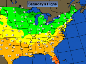
The wind will still be gusty through Saturday but not as strong as recent days. The mercury will come down is steps as we head through the weekend with colder air filtering in under partly cloudy skies. In fact, there’s no Arctic air in sight (map above). Currently, January is the 10th warmest January on record for New York City. Not surprising.
A more Winter-like pattern will be with us next week. Our chances of any steady snow early this week have diminished (not that it was ever in the forecast). The jet stream is hauling out of the Northwest and there’s really no blocking in Canada to slow the flow down and let any weak area of low pressure form close enough to our region. A few flurries are possible Monday with the trough moving through but thats about it. It looks tranquil as we head end January and head into the first few days of February.
The next threat and its only that- a threat, is the February 6th-8th time frame. Don’t hold your breath.
Today:
Partly cloudy with still above average temperatures. Breezy. Highs in the lower 40s. The average high for this date is in the upper 30s. West wind at 10-20mph with gusts to 30mph.
Tonight:
Partly cloudy with diminishing winds. Lows in the lower in the City, the mid 20s inland. West wind at 5-10mph.
Sunday:
Partly sunny. Highs around 40º.
Monday:
Mostly cloudy, colder. Chance of flurries. Highs in the mid 30s.
Tuesday:
Partly sunny. Highs in the upper 30s.
Wednesday:
Partly sunny. Highs around 40º.
Stay Tuned.
Keep it here for a no nonsense, no hype forecast.