Synopsis:
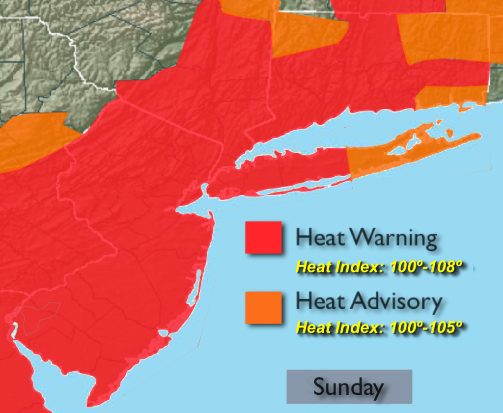
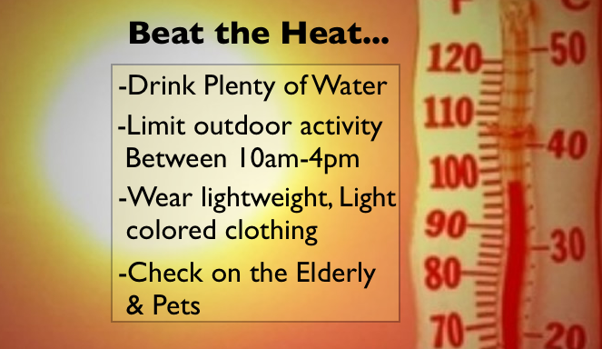
We’ll have to contend with one more oppressive day as the Bermuda high continues to influence our weather. The heat wave will be taxing to the body. Hydrating will be of upmost importance. Temperatures will climb into the 90s and the very high humidity will translate into a heat index of 100º-108º. The threat of afternoon storms will be spotty in nature. The Humidity will lower on Monday despite highs in the lower 90s.
The heat wave is expected to break on Tuesday with readings in the upper 80s.
In all my years of forecasting in the NYC area I don’t think I remember a time with such high humidity with temperatures in the 90s on Saturday. Some areas had heat indices up to 115º, virtually unheard for these parts.
Today:
Hazy, hot and humid with spotty PM Storms. Highs in the mid 90s. Heat index of 100º-108º.
Tonight:
Partly cloudy with an scattered storms. Muggy and warm. Lows in the upper 70s in the City and urban corridor, 70º-75º inland. Southwest wind at 5mph.
Monday:
Partly sunny and hot. Lower Humidity. Highs in the lower 90s.
Tuesday:
The heat wave should end with temperatures remaining in the upper 80s with scattered showers and storms.
Wednesday:
Sun and clouds with scattered showers and storms. Highs in the upper 80s.
Thursday:
Partly sunny with highs in the upper 80s.
Stay Tuned.
Keep it here for a no nonsense, no hype forecast.