Synopsis:
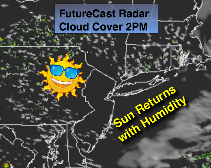
Showers this morning will move off the coast with a weak area of low pressure. Clouds will break for some sunshine. It’ll become more humid.
A heat wave looks to take shape this week as hot airmass over the Southern half of the country moves in. The heat looks to last through Saturday.
Today:
Scattered morning showers over Eastern and Southern areas, otherwise skies will become partly sunny. Highs will be in the mid 80s. More Humid. Northwest wind at 5-10mph.
Tonight:
Mostly clear, warm and muggy with lows in the mid 70s in the City, the 60s inland. Northwest wind less than 5mph.
Wednesday:
Mostly sunny, hot and humid. Highs in the lower 90s.
Thursday:
A sizzler. Hazy, hot and humid with highs in the lower to mid 90s. Heat index will be around 100º.
Friday:
The 3 H’s continue with readings in the lower 90s. An isolated storm is possible.
Saturday:
Sultry with highs around 90º. Scattered afternoon storms are possible.
Keep it here for a no nonsense, no hype forecast.