Synopsis:
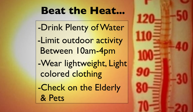
A heat wave will take shape as hot airmass over the Southern half of the country moves in. The heat looks to last through Saturday. Please use caution as this is our first heat wave of the season and we are not accustom to these temperatures.
Today:
Mostly sunny, hot and humid. Highs in the lower 90s. Cooler at the coast. Northwest to Southwest wind at 8-12mph.
Tonight:
Mostly clear, warm and muggy with lows in the mid to upper 70s in the City, the upper 60s inland. Southwest wind less than 5mph.
Thursday:
A sizzler. Hazy, hot and humid with highs in the lower to mid 90s. A spot afternoon storm is possible. Heat index will be around 100º.
Friday:
The heat will peak with readings in the mid 90s. The heat index will approach 105º. An isolated storm is possible.
Saturday:
Sultry with highs around 90º. Scattered morning storms are possible.
Sunday:
The heat wave breaks with highs in the mid to upper 80s with much lower humidity.
Keep it here for a no nonsense, no hype forecast.