Synopsis:
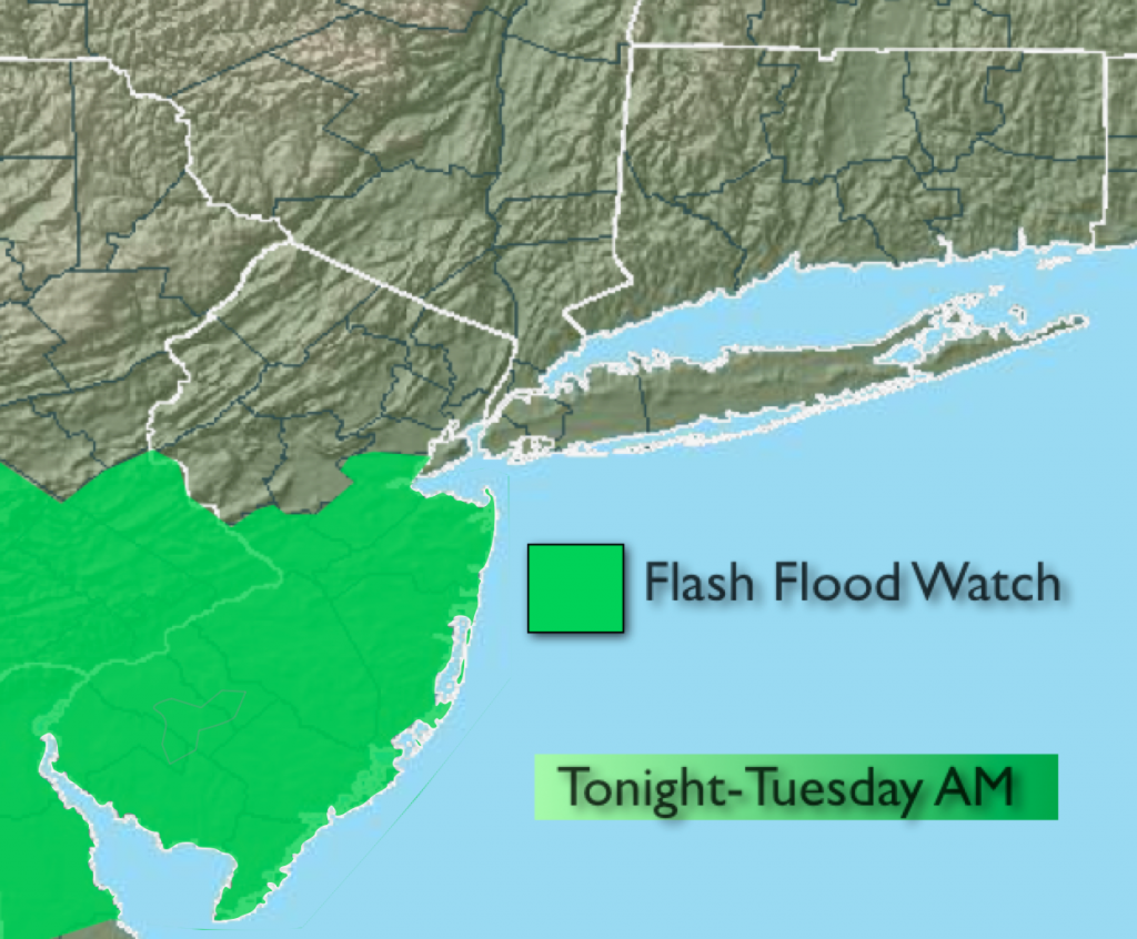
***A FLASH FLOOD WATCH is in effect for tonight and Tuesday morning for Central and Southern NJ*** An area of low pressure will move along a warm front tonight and Tuesday morning causing scattered showers and thunderstorms. A period of heavy rain is likely over parts of the Watch area later tonight and Tuesday morning. One to three inches of rain is possible which could cause flooding of roadways. Never cross a flooded roadway you never know how deep the water is. TURN AROUND DON’T DROWN.
Our first true heat wave of the season looks to take shape this week as hot airmass over the Southern half of the country moves in.
Tonight:
Scattered showers and thunderstorms. A period of heavy rain is likely later tonight especially from the NYC vicinity and to the South. Temperatures will be in the 60s. South wind 8-12mph.
Tuesday:
Morning showers and storms with locally heavy rain in spots. Skies will become partly sunny during the afternoon. Highs will be in the mid 80s. More Humid. Northwest wind at 5-10mph.
Wednesday:
Mostly sunny, hot and humid. Highs around 90º.
Thursday:
A sizzler. Hazy, hot and humid with highs in the lower to mid 90s. Heat index will be around 100º.
Friday:
The 3 H’s continue with readings in the lower 90s.
Saturday:
Sultry with highs around 90º. Scattered afternoon storms are possible.
Keep it here for a no nonsense, no hype forecast.