Synopsis:
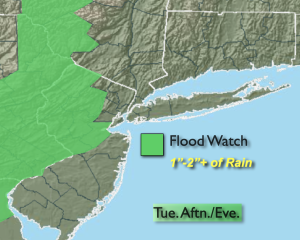
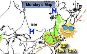
The last round of showers from a stubborn low pressure disturbance will affect the region this afternoon and evening. The threat is not as significant as the last few days with just scattered showers. Highs will be a couple degrees below the average high of 83º.
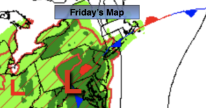
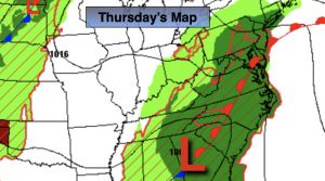
For Thursday and Friday brighter skies and warmer readings are anticipated as drier air works in from the North and West.
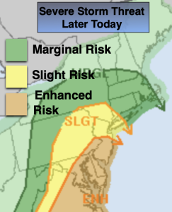
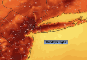
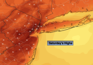
The beginning of the 4th of July weekend on Saturday will feature more clouds than sun. Scattered showers and storms are possible in the afternoon as a warm front approaches. The threat of isolated showers and storms will continue for Sunday under a mix of hazy skies and humid conditions. It will not be a washout.
Stay tuned.
Keep it here for a no nonsense, no hype forecast.
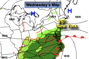
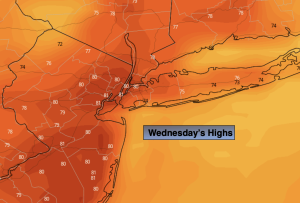
Wednesday:
Sun and clouds. Chance of afternoon showers. Highs in the upper 70s to around 80º. West winds at 5-10mph.
Tonight:
Scattered evening shower, otherwise partly cloudy. Lows in the mid to upper 60s in the City, the upper 50s inland. Northwest winds 5mph.
Thursday:
Mostly sunny. Highs in the lower to mid 80s.
Friday:
Mostly sunny. Highs in the mid 80s.
Saturday:
More clouds than sun. Scattered PM showers and storms. Highs around 80º.
Sunday:
Sun and clouds. Scattered PM showers and storms. Warner and more humid. Highs in the mid 80s.