Synopsis:
Today and Wednesday will feel like early Fall as high pressure originating in Canada moves our way. Readings will remain in the 70s with a refreshing breeze today. The average highs are in the lower to mid 80s. The sun will dominate.
Tonight’s lows will be well down in the 50s in the Northwestern ‘burbs.
On Thursday, a warm front will move toward the region. Clouds will dominate and showers are possible. Friday will feature a shower threat with the front over the region.
By Saturday most of the moisture looks to clear the coast. At this time, JMW is keeping it dry with a mix of sun and clouds. This is a lower than average confidence for the fist half of the weekend.
Stay tuned.
Keep it here for a no nonsense, no hype forecast.
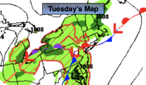
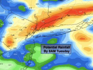
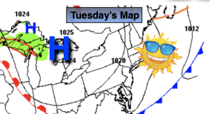
Tuesday:
Sunny, breezy and cooler with lower humidity. Highs in the upper 70s. North to Northeast winds at 10-15mph with gusts to 25mph. Winds will diminish some during the afternoon.
Tonight:
Clear. Lows in the lower to mid 60s in the City, the 50s inland. North winds at 5mph.
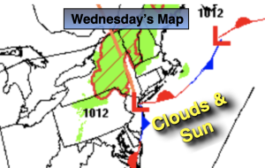
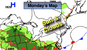
Wednesday:
Sunny. Highs in the mid to upper 70s.
Thursday:
Mostly cloudy with shower possible. Cool. Highs in the mid 70s.
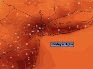
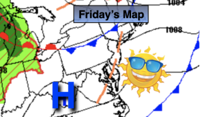
Friday:
Mostly cloudy with showers possible. Highs around 80º.
Saturday:
Sun and clouds. Highs around 80º.