Synopsis
This is a broken record forecast, but many won’t complain. The sun will continue to dominate through the end of the week as extensive high pressure builds over the Northeast. Above average temperatures are anticipated through the weekend. The average highs are in the upper 30s. Readings by the weekend will have a Spring feel, despite more clouds as a washout front works through.
Stay tuned.
Keep it here for a no nonsense, no hype forecast.
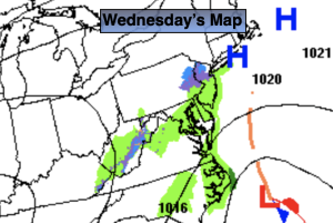
Wednesday:
Sunny. Highs in the mid 40s. North to Northeast winds at 5mph.
Tonight:
Mostly clear. Lows in the mid 30s in the City, the upper teens & 20s inland. Light winds.
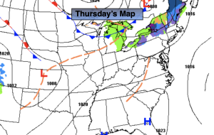
Thursday:
Mostly sunny. Highs in the mid to upper 40s.
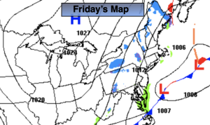
Friday:
Sun and clouds. Highs in the upper 40s.
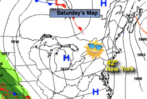
Saturday:
Sun and clouds. Mild. Highs in the mid to upper 50s.
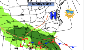
Sunday:
Sun and clouds. Mild. Highs in the lower 50s.