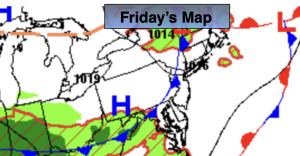
Synopsis:
A front to our South with weak low pressure riding along it will result in a mainly cloudy Saturday. Scattered showers are likely. It will not be a washout.
The better half of the weekend will be Sunday. Partly sunny skies and seasonal temperatures are anticipated.
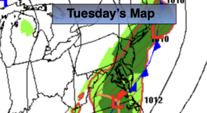
Monday and Tuesday will be sunny and quite warm as high pressure builds into the area.
A heatwave will develop from midweek on. Wednesday’s highs will soar into the mid and upper 90s.
Stay tuned.
Keep it here for a no nonsense, no hype forecast…
Saturday:
Mostly cloudy. Scattered showers. Not as washout. Highs around 80º. Southeast winds at 5mph.
Tonight:
Partly cloudy. Lows around 70º in the City, the 60s elsewhere. Light and variable winds.
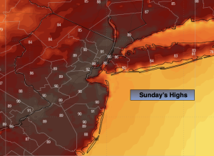
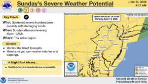
Sunday:
Partly sunny. Seasonal. Highs in the lower 80s.
Monday:
Sunny. Warm. Highs in the mid 80s.
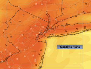
Tuesday:
Sunny. Very warm. Highs near 90º.
Wednesday:
Sunny. Hot and humid. Highs in the mid to upper 90s.