Synopsis:
An Arctic blast will gip the trip-state area today. The coldest air of the season so far will be with us. Temperatures will remain mainly in the 20s with a biting wind. Wind chills will be in the teens under a mix of sun and clouds.
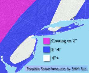
An Alberta clipper will move into the region tonight and early Thursday morning. A period of snow showers or light snow is likely. A coating of snow is possible in spots by Thursday morning.
Another round of snow showers is possible Friday night as a weak disturbance moves through. This system is moving rapidly and should not be a be deal.
The cold will moderate some by the weekend with readings reaching the lower 40s by Sunday. A decent amount of sun is expected.
Stay tuned.
Today:
Partly sunny, windy and brutally cold. Highs in the 20s to around 30º. Wind chills in the teens. West to Northwest winds at 15-30mph with gusts up to 40mph.
Tonight:
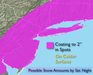
Cloudy with snow showers or light snow developing toward midnight. A coating to an inch possible by daybreak. Lows in the mid 20s in the City, the upper teens inland to 20s inland. West to Northwest wind diminishing to 5-10mph.
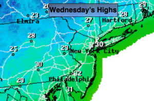
Thursday:
Early morning light snow East, otherwise partly sunny and cold. Highs around freezing.
Friday:
Partly sunny. Highs in the lower to mid 30s.
Saturday:
Mostly sunny. Highs in the mid 30s.
Sunday:
Partly sunny. Highs in the lower 40s.
Keep it here for a no nonsense, no hype forecast.