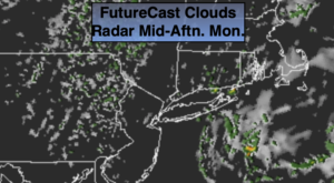
Synopsis:
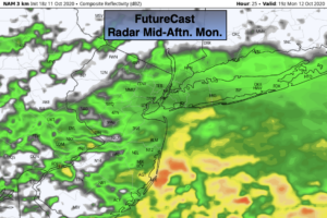
Our grey damp conditions will continue today. Low pressure will move off the Northeast coast and a cool front will move through during the afternoon. Scattered ares of rain and showers will be about. As these systems move East a bit of shine may shine before sunset, especially to the West. Readings will be a couple degrees below the average high of the mid 60s.
Skies will clear tonight.
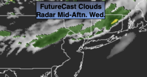
Wednesday and Thursday will be gems with abundant sunshine and mild readings as high pressure works in the from the Midwest.
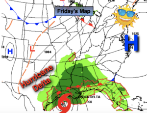
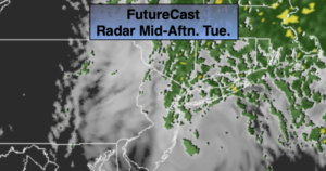
A cold front will approach on Friday with scattered showers. Many of the computer models have low pressure developing along the front. This may enhance our rainfall Friday night.
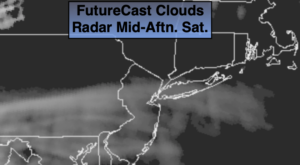
The front should move off the coast early Saturday morning with clouds giving way to sunshine. There will be a nip in the air.
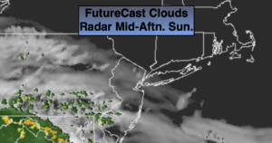
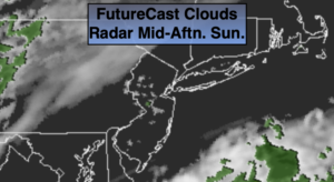
Sunday looks bright and seasonal..
Stay Tuned.
Keep it here for a no nonsense, no hype forecast.
Today:
On and off showers. A peek of late day sun is possible, especially West. Highs in the lower 60s. Northeast to Northwest winds at 5-10mph with gusts to 20mph.
Tonight:
Clearing skies. Lows in the lower 50s in the City, the 40s inland. Northwest winds at 5-10mph.
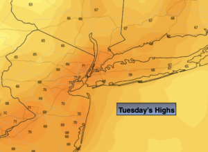
Wednesday:
Sunny. Highs around 70º.
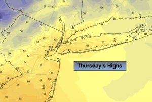
Thursday:
Mostly sunny. Highs in the lower to mid 70s.
Friday:
Mostly cloudy with scattered showers. Cooler. Highs in the mid 60s.
Saturday:
Morning clouds giving way to mostly sunny skies. Chilly. Highs in the upper 50s.