Synopsis:
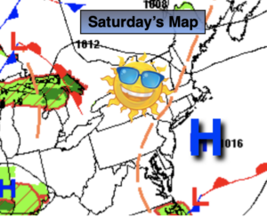
It will be all about location today. A weak low off the NJ coast will bring a more pessimistic forecast to coastal areas. Areas of rain and scattered showers now look to stick around at least until midday for these regions. Just to the West it will be drier with more sunshine. Hopefully, during the afternoon hours coastal areas will dry out as well. Readings will be several degrees below the average high of the mid 80s.
This upcoming week will be more August like as high pressure builds over the Western Atlantic- a Bermuda high. This is very typical for this time of the year. The dog days of August will be upon us. Hazy, increasingly hot and humid conditions can be expected. A late day scattered storms are possible late week.
Keep it here for a no nonsense, no hype forecast.
Stay tuned.
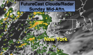
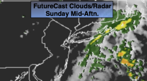
Sunday:
Areas of rain and showers along the coast tapering off midday. A mix of sun and clouds elsewhere. Highs in the upper 70s. Northeast winds at 8-12mph.
Tonight:
Partly cloudy. Lows around 70º in urban areas, the 60s inland. North wind less than 5mph.
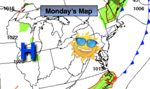
Monday:
Partly sunny, warmer and more humid. Highs in the mid 80s.
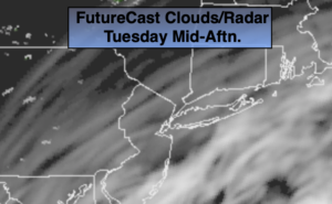
Tuesday:
Mostly sunny. Very warm and humid. Highs in the upper 80s.
Wednesday:
Hazy, hot and humid. Highs in the lower 90s. Heat index near 100º.
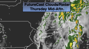
Thursday:
Hazy, hot and humid. Isolated PM storm. Highs in the lower to mid 90s. Heat index near 100º.