Synopsis:
The dog days of August are with us. It’ll we very warm to hot until further notice with varying levels of humidity right through the weekend and into early next week. Some days will be oppressive while others not as uncomfortable. This pattern is very typical for this time of the year. A West to South flow around a Bermuda high will be responsible for our conditions. Scattered afternoon or evening thunderstorm are possible Friday and Saturday.
Happy Summer!
Stay tuned.
Keep it here for a no hype, no nonsense forecast.
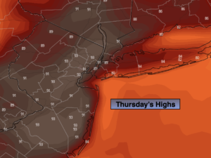
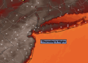
Thursday:
Hazy, hot and humid. Highs in the mid 90s. Heat Index around 100º. Cooler at the coast. Southwest to South winds at 8-12mph.
Tonight:
An isolated storm, otherwise partly cloudy, very warm and muggy. Lows in the mid to upper 70s in urban areas, around 70º North and West. Light Southwest wind.
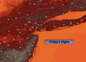
Friday:
Hazy, hot and humid. Chance of scattered late day storms. Highs around 90º.
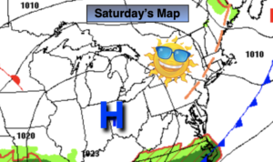
Saturday:
Hazy, very warm and humid. Chance of scattered late day storms. Highs in the upper 80s.
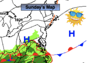
Sunday:
Hazy, hot and humid. Highs in the around 90º.
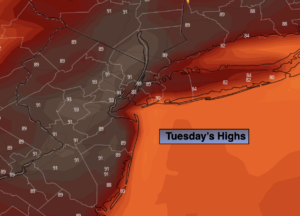
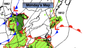
Monday:
Hazy, hot and humid. Highs in the lower 90s.
Catch me on the Fox Weather Stream from 10am-1pm on Thursday. Find us on Tubi, Roku TV and YouTube TV and as always the Fox Weather App. It’s Free!