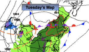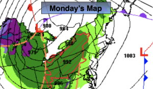
Synopsis:
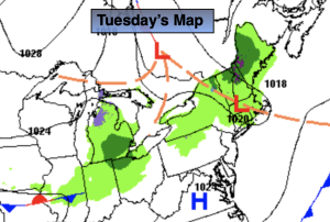
An upper level low will spin over the Northeast and remain basically stationary through the end of the week. This will result in a broken record forecast. More clouds than sun is expected with spotty showers and unseasonably cool temperatures. Readings will be ten to seventeen degrees below the average high of the upper 60s.
By Friday, the low will loosen it’s grip over the region. A mix of sun and clouds is expected with just the threat of an isolated shower.
The weekend will feature a complete turnaround. High pressure will begin to build over the Northeast. This will allow for moderating temperatures and abundant sunshine for a change. Readings will be seasonable for early May on Saturday. By Sunday, most will welcome the 70s!
Stay tuned.
Keep it here for a no nonsense, no hype forecast.
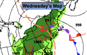
Wednesday:
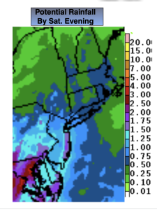
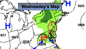
More clouds than sun. Spotty showers. Unseasonably cool. Highs in the lower 50s. West to Southwest winds at 8-12mph.
Tonight:
Spotty showers, otherwise mostly cloudy and unseasonably cool. Lows in the mid 40s in the City, the upper 30s inland. West to Northwest winds diminishing to 5mph.
Thursday:
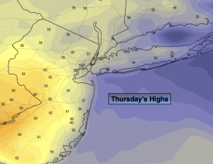
More clouds than sun. Spotty showers. Highs in the upper 50s.
Friday:
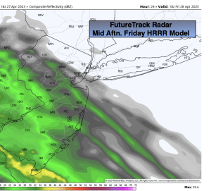
Sun and clouds. Isolated shower. Highs around 60º.
Saturday:
Mostly sunny. Milder. Highs in the upper 60s.
Sunday:
Mostly sunny. Warm. Highs in the mid 70s.