Synopsis:
A string of beauties will be with us through Thursday as strong high pressure dominates! Readings will be well above average and cross over the 80º today and Wednesday in many areas. The average high is around 70º. It’ll feel more like late June. It’s a simple forecast and one that will make most smile.
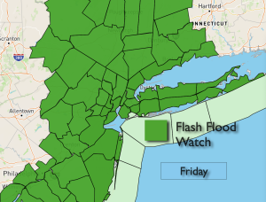
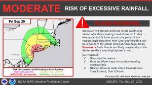
The next chance of any showers will come Friday afternoon with a moist flow coming up from the South.
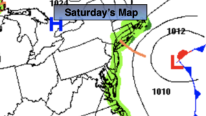
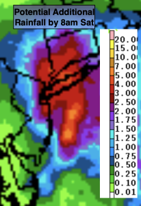
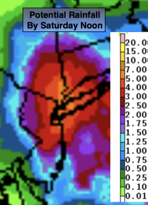
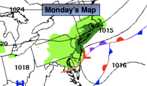
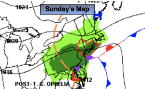
A season changer is on the map for the weekend. Saturday’s weather will be influenced by a deepening trough of low pressure in the upper levels, an approaching cold front and low pressure developing along that front. All of this will result in on and off rain for Saturday with more seasonable readings. Much cooler readings will greet us on Sunday. Highs may not get out of the 50s! Autumn will be in full force.
Stay tuned.
Keep it here for a no nonsense, no hype forecast.
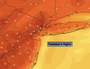
Tuesday:
Sunny. Warm. Highs in the lower 80s. West to South winds at 5mph.
Tonight:
Clear. Mild. Lows in the mid 60s in the City, the 50s inland. Light winds.
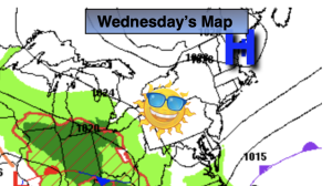
Wednesday:
Sunny. Warm. Highs in the lower 80s.
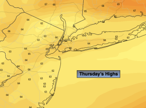
Thursday:
Mostly sunny. Highs in the mid 70s.
Friday:
Clouds, some sun. A few showers possible. Highs in the lower 70s.
Saturday:
On and off rain likely. Highs in the mid to upper 60s.