Synopsis:
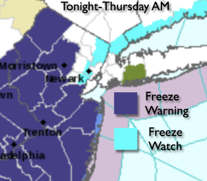
Most areas outside the urban corridor experienced a hard freeze last night. In these areas the growing season has now ended.
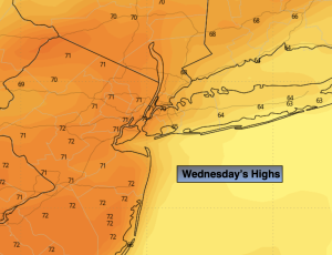
Chilly high pressure dominate today. Abundant sunshine with readings several degrees below the average high of the upper 50s is expected.
Friday will be more seasonable under plenty of sunshine as high pressure settles over the East coast.
The first weekend in November will be a winner with abundant sunshine and milder readings. A simple forecast and one without rain for the weekend!
Stay tuned.
Keep it here for a no nonsense, no hype forecast.
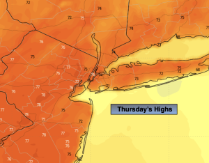
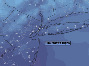
Thursday:
Sunny. Chilly. Highs in the upper 40s. Northwest to West winds at 5-10mph.
Tonight:
Clear. Cold inland. Lows around 40º along the urban corridor, the 20s and 30s inland. Southwest winds at 5mph.
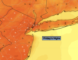
Friday:
Sunny. Highs in the mid to upper 50s.
Saturday:
Mostly sunny. Milder. Highs in the lower 60s.
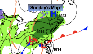
Sunday:
Mostly sunny. Highs in the lower 60s.
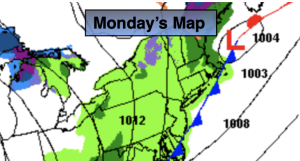
Monday:
Mostly sunny. Highs in the lower 60s.