Synopsis:
Fall will not be shy Sunday and Columbus Day Monday as low pressure in Canada results in an unseasonably cool air over the region.
A mix of sun and clouds is expected Tuesday with below average temperatures continuing as the cool flow around Canadian low pressure continues.
Temperatures will be more seasonable mid to late week as the airmass moderates. Typical readings for this time of the year are in the mid to upper 60s.
Stay tuned.
Keep it here for a no nonsense, no hype forecast.
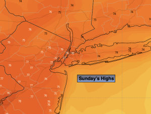
Sunday:
Partly sunny, breezy and much cooler. Highs in the upper 50s to lower 60s. West winds at 10-20mph.
Tonight:
Partly cloudy. Chilly. Lows in the upper 40s in the City, the upper 30s and 40s inland. West winds at 8-12mph.
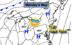
Columbus Day:
Partly sunny. Highs in the lower 60s.
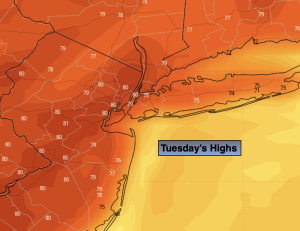
Tuesday:
Partly sunny. Highs in the mid 60s.
Wednesday:
Mostly sunny. Highs in the mid 60s.
Thursday:
Partly sunny. Highs in the mid to upper 60s.