Synopsis:
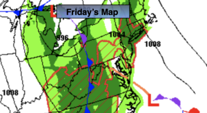
It will be the tale of two seasons this weekend. High pressure over the Southeast will be responsible for our anomalous warmth today. Readings will feel more like June than later October.
A cool front will move through the region this evening. This will set the stage for much cooler temperatures for Sunday. Highs on Sunday will feel more like mid November with readings almost twenty five degrees cooler than Saturday. Showers are likely on Sunday.
The cool front will get hung up over the region on Monday. A few showers are possible under a mostly cloudy sky.
On Halloween a significant cooldown is expected with dry conditions.
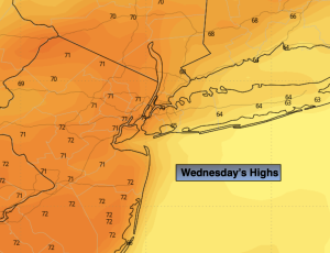
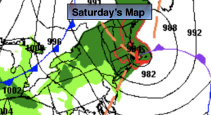
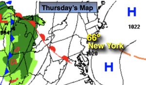
Most of the computer models have a coastal storm developing just off the coast on Wednesday. A period of rain is likely. The threat of some light wet snow is possible over the higher elevations. A few flakes may fly toward the coast as well. It will be chilly with readings staying in the 40s for highs.
Stay tuned.
Keep it here for a no nonsense, no hype forecast.
Saturday:
Mostly sunny. Warm. Highs in the 70s to around 80º. West to Northwest winds at 8-12mph.
Tonight:
Mostly cloudy with scattered showers possible. Lows in the lower 50s along the urban corridor, the 40s inland. Northwest to Northeast winds at 8-12mph.
Sunday:
Cloudy. Scattered showers. Much cooler. Highs in the mid 50s.
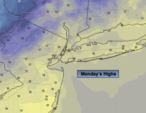
Monday:
Mostly cloudy. Scattered showers. Highs in the mid to upper 50s.
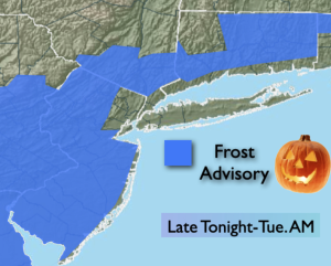
Halloween:
Partly sunny. Chilly. Highs in the lower 50s.
Wednesday:
A period of rain possible. Threat of a bit of wet snow inland. Highs in the 40s.