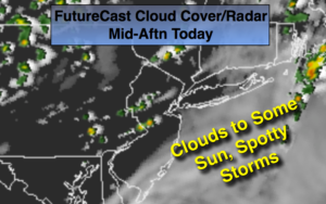
Synopsis:
Scattered thunderstorms may fire up with the a disturbance moving through this evening, otherwise skies will be partly cloudy. It’ll be milder than recent nights.
High pressure will move into the region Thursday. The sun will finally dominate. It’ll be a gem.
Friday will start off with sun but clouds will move in as a weak disturbance moves through later in the day. Spotty showers or thunderstorms are possible. Most areas will remain dry.
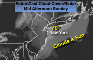
The weekend will be a 50/50 split. Saturday will feature mainly sunny skies and seasonal readings. Sunday will start off with some sun but showers will work in by afternoon.
Stay tuned.
Tonight:
Spotty evening storms, otherwise partly cloudy. Lows in the lower 60s in the City, the 50s inland. Southwest to West winds at 5-10mph.
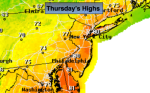
Thursday:
Mostly sunny. Highs near 80º. West winds at 10-15mph.
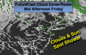
Friday:
Sun and clouds. An isolated late day storm is possible. Highs in the mid 70s.
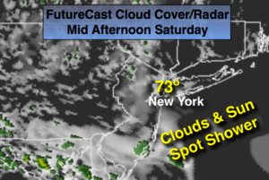
Saturday:
Mostly sunny. Highs in the mid to upper 70s.
Sunday:
Sun to clouds with scattered afternoon showers. Highs around 70º.
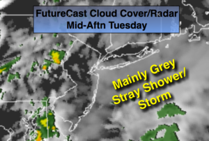
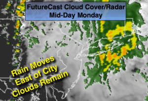
Monday:
Mostly cloudy with scattered showers and thunderstorms. Highs in the upper 60s.
Keep it here for a no nonsense, no hype forecast.