Synopsis:
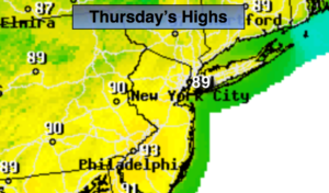
High pressure will continue to sit over the Eastern states for the rest of the week and into Saturday resulting in mostly sunny skies, hot conditions. If the temperature hits 90º three days in a row at Central Park it would be constituted as a heatwave. The humidity levels will be in check through Friday.
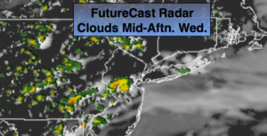
By the Saturday, a cool front will be approaching. Ahead of the front it will be hot and humid. Scattered showers and storms are possible later in the day. The front should clear the coast Sunday morning allowing for a more comfortable day with lower temperatures and humidity levels.
July’s debut (on Monday) will be a winner. Mostly sunny and warm temperatures are anticipated.
Stay tuned.
Keep it here for a no nonsense, no hype forecast.
Today:
Mostly sunny. Hot. Highs around 90º. Northwest winds at 5-10mph.
Tonight:
Mostly clear. Warm. Lows in the lower to mid 70s in urban areas, the 60s inland. Light and variable winds.
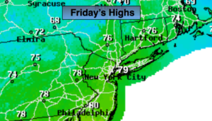
Friday:
Mostly sunny. Hot. Highs in around 90º.
Saturday:.
Hazy, hot and humid. Heat index in the upper 90s. Chance of a late day storm .Highs around 90º.
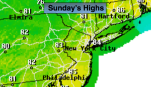
Sunday:.
Partly sunny. Not as warm or humid. Highs in the mid 80s.
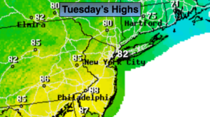
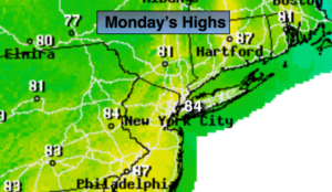
Monday:.
Mostly sunny. Highs in the mid 80s.