Synopsis:
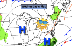
High pressure has settled over the East coast and will stay put through the week. What this all means is that our fantastic May conditions will continue with above average temperatures. The week will feature sunshine and increasing temperatures. On Wednesday and Thursday a Summer preview will greet us.
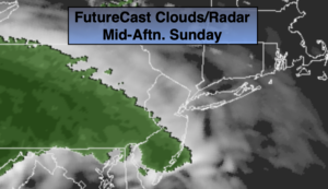
By Friday, a cool front looks to sweep down from Eastern New England. A signifiant potential cool off is likely for Friday. Readings maybe at or even below the average high of the lower 70s.
On Saturday, the cool front will lose its influence over the region as it washes out. Readings once again will pop to well above average readings with a wind more off the land.
Stay tuned.
Keep it here for a no nonsense, no hype forecast.
Today:
Sunny. Warmer. Highs in the lower 80s. West to Southwest winds at 8-12mph.
Tonight:
Clear. Lows in the lower 60s in the City, the 50s inland. West winds at 5mph.
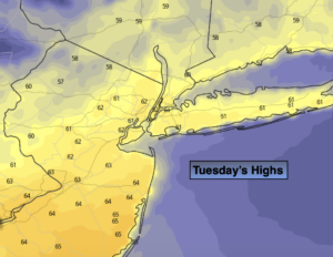
Wednesday:
Sunny. Very warm. Highs in the mid 80s.
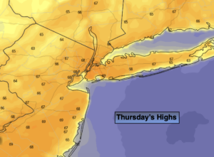
Thursday:
Mostly sunny. Very warm. Highs in the mid to upper 80s. Cooler over Eastern areas.
Friday:
Clouds, some sun. Much cooler. Highs in the lower 70s. Cooler over Eastern areas.
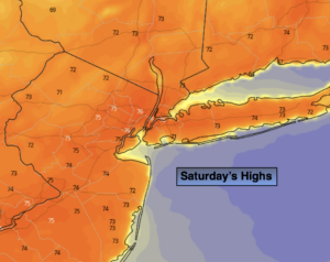
Saturday:
Sun & Clouds. Warmer. Highs in the upper 70s.