Synopsis:
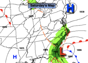
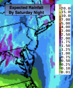
A large dome of high pressure extending from the Northeast through much of the midsection of the nation will result in tranquil conditions the next five days. Temperatures will begin to moderate today. The average high temperature is 57º, we’ll be around that number under mainly sunny skies. There will be high clouds from time to time from a storm moving well off the Carolina coast.
Bright skies and mild readings can be expected Through Thursday. A November bonus for sure!
Unfortunately, we lose an hour of daylight later this afternoon with the time change. Sunset is now around 4:45pm. But, it is lighter earlier in the morning.
Keep it here for a no hype-no nonsense forecast.
Stay tuned.
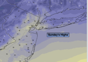
Sunday:
Mostly sunny. Seasonal. Highs in the mid to upper 50s. Northeast winds at 5mph.
Tonight:
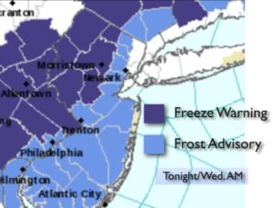
Mostly clear. Lows in the mid 40s in City, the upper 20s and 30s inland. Northeast winds less than 5mph.
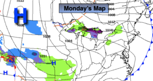
Monday:
Sunny. Milder. Highs in the lower 60s.
Tuesday:
Sunny. Mild. Highs in the mid 60s.
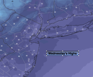
Wednesday:
Sunny. Mild. Highs in the mid 60s.
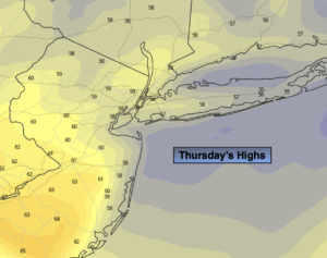
Thursday:
Partly sunny. Highs in the lower 60s.