Synopsis:
Today will be chilly with readings just above freezing under a mix of sun and clouds as weak high pressure ridges in from the North.
Another Alberta clipper will swing through the region tonight with scattered snow showers. A dusting of snow is possible in spots.
Readings will moderate on Tuesday to above average readings. The average high is 38º. There maybe a few rain or snow showers to contend with as a weak system rapidly moves through.
Another shot of cold air will arrive on Wednesday and Thursday courtesy of high pressure from the North.
A moderation in temperatures is expected for Friday under partly sunny skies.
JMW will monitor a developing coastal storm for Saturday. Please keep it here for no hype, no nonsense forecast as you will be hearing a lot of chatter on this.
Stay tuned..
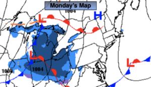
Monday:
Partly sunny. Highs in the mid 30s in the City, around freezing inland. North to South winds at 5mph.
Tonight:
Scattered snow showers. Lows around 30º in the City, the 20s inland. Southwest winds at 5mph.
Tuesday:
Mostly cloudy. A nice brief break from the cold. A few rain or snow showers are possible. Highs around 40º.
Wednesday:
Mostly sunny. Cold again. Highs in the mid to upper 20s.
Thursday:
Sunny and cold. Highs in the upper 20s.
Friday:
Sun and clouds. Highs in the mid 30s.