Synopsis:
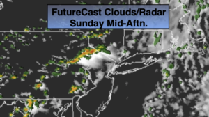
A return flow of Southerly air around high pressure will increase the humidity today. Early clouds and scattered showers East will give way to a mix of clouds and hazy sun. Readings will be seasonal in the mid 80s. Late day or evening scattered thunderstorms are possible. Much of the day will be dry.
An isolated evening storm is possible, otherwise skies will become mostly clear.
Weather systems will be weak throughout the upcoming week. Mostly sunny and hot conditions are anticipated for the beginning of the week. The humidity levels be at low to moderate levels.
By Wednesday and Thursday upper level energy swinging through may spark an isolated shower, otherwise a mix of sun and clouds is expected both days with seasonal readings.
Stay tuned.
Keep it here for a no nonsense, no hype forecast.
Today:
Clouds and early morning showers east giving way to a mix of clouds and sun. Humid. Late day and evening scattered storms are possible. Highs in the mid 80s. South to Southwest winds at 8-15mph.
Tonight:
Becoming mostly clear. Muggy. Lows around 70º in the City, near 60º well inland. Southwest to West winds less than 5mph.
Monday:
Mostly sunny and hot. Highs in the upper 80s to around 90º.
Tuesday:
Mostly sunny and hot. Highs around 90º.
Wednesday:
Partly sunny. An isolated shower is possible. Highs in the mid 80s.
Thursday:
Partly sunny. An isolated shower is possible. Highs in the mid 80s.