Synopsis:
Today through Saturday will be delightful for July with low levels of humidity and near seasonal readings in the mid 80s. High pressure will move from the Great Lakes to the East coast. Hopefully our smokey skies will become blue again.
Sunday will see a return flow of Southerly air. This will result in an increase in humidity and also increase our chances of seeing scattered showers.
Very warm and humid conditions will continue into Monday.
Stay tuned.
Keep it here for a no nonsense, no hype forecast.
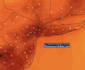
Today:
Mostly sunny with low humidity. A top ten day! Highs in the lower to mid 80s. Northwest winds at 5-10mph.
Tonight:
Mostly clear and cool. Lows in the mid 60s in the City, the 50s inland. Northwest winds at 5mph.
Friday:
Mostly sunny. Highs in the mid 80s.
Saturday:
Mostly sunny. Highs in the mid 80s.
Sunday:
Sun and clouds. Scattered showers. Humid. Highs in the mid 80s.
Monday:
Hazy, very warm and humid. Scattered showers are possible. Highs in the upper 80s.