Synopsis:
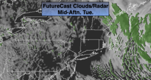
The week continues to look quiet as low pressure moves to the Canadian Maritimes and high pressure settles in over the central and Eastern part of the nation. Readings will be just above average (average is 39º) through Thursday. It looks like the clouds will continue to dominate through today as plenty of moisture will stick around. The wind will become busy Wednesday but finally mix up the atmosphere enough to allow for more sunshine.
Thursday and Friday will be bright and seasonal.
All of the computer models have a storm developing off the Carolina coast later Friday into Saturday. The track looks far enough South and East to not affect the tri-state area at this time. Confidence continues to increase that it will remain dry.
The weekend at this time looks tranquil and seasonally cold.
Stay Tuned.
Keep it here for a no nonsense, no hype forecast.
Today:
Mostly cloudy. Highs in the lower 40s. North winds at 5-10mph.
Tonight:
Mostly cloudy. Lows in the lower to mid 30s in the City, the upper 20s inland. Northwest winds at 5-10mph.
Wednesday:
Partly sunny. Breezy. Highs in the lower to mid 40s.
Thursday:
Mostly sunny. Highs in the lower to mid 40s.
Friday:
Mostly sunny. Highs in the upper 30s to around 40º.
Saturday:
Mostly sunny. Highs in the mid to upper 30s.