Synopsis:
August is living up to its reputation. The haze, heat and humidity will stick around through Wednesday. This is courtesy of a Bermuda high. A weak trough of low pressure will be over the region almost the entire week. Isolated afternoon storms are possible each afternoon through Wednesday in the unstable airmass, but much of the time will be storm-free. By mid to late week a cool front will slowly approach. This will increase the chance of showers and storms Thursday and Friday. Temperatures will be cooler at this time do to the clouds and rain-cooled air.
The weekend is looking bright and comfortably warm!
Stay Tuned.
Keep it here for a no nonsense, no hype forecast.
Today:
Hazy, hot and humid. Isolated afternoon storm. Highs in the around 90º. Southwest to South winds at 8-12mph.
Tonight:
Partly cloudy, warm and muggy. Isolated showers and storms. Lows in the mid 70s in urban areas, near 70º inland. Southwest winds at 5mph or less.
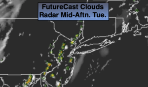
Wednesday:
Hazy, hot and humid. Scattered afternoon storms. Highs in the upper 80s to around 90º.
Thursday:
Hazy, warm and humid. Scattered afternoon storms. Highs in the mid 80s.
Friday:
Mostly cloudy. Better chance of showers and isolated storms. Highs in the lower to mid 80s.
Saturday:
Mostly sunny. Much less humid. Highs in the lower 80s.