Synopsis:
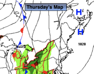
Today will be the last of the comfortable days for some time. High pressure over Eastern Canada will continue to keep the humidity and hot conditions at bay. It’ll be comfortably warm and sunny, but the humidity will be at very low levels for July.
On Friday, a more Southerly flow will take hold. This will result in increasing humidity and temperatures. The threat of afternoon scattered storms will increase as a warm front moves in.
It looks like a heatwave will grip much of the East coast beginning on Saturday. The 3 H’s will be back for the weekend and hot conditions will continue into next week as a Bermuda high takes hold.
Stay Tuned.
Keep it here for a no nonsense, no hype forecast.
Today:
Partly sunny. Highs in the lower 80s. East to Southeast winds at 5-10mph.
Tonight:
Partly cloudy. Lows around 70º in the City, the 60s inland. Southeast to South winds at 5mph.
Friday:
Hazy, warmer and more humid. Scattered afternoon storms. Highs in the mid 80s.
Saturday:
Hazy, hot and humid. Highs in the lower 90s. Heat Index 95º-100º.
Sunday:
Hazy, hot and humid. Highs in the mid 90s. Heat index around 100º.
Monday:
Hazy, hot and humid. Scattered afternoon storms. Highs in the mid 90s. Heat Index: 100º-105º.