Synopsis:.
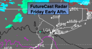
A cool front will work toward the area today. Once again clouds will rule as the system pushes toward the region. Late day showers are possible, flurries inland.
The weekend will be bright as high pressure works in. Saturday will be cold. Readings will rebound on Sunday.
A storm will track from the Great Lakes into Eastern Canada Monday and Tuesday. This is a warm storm track for the East coast. Periods of rain are expected both days. It’ll feel more like Spring than early December.
Stay Tuned.
Keep it here for a no hype, no nonsense forecast.
Today:
Mostly cloudy. Spotty showers or late day flurries are possible. Highs in the lower to mid 40s. Southwest to West winds increasing to 10-20mph.
Tonight:
Clearing and colder.. Lows around freezing in the City, the 20s inland. Northwest winds at 10-15mph..
Saturday:
Sunny and cold. Highs in the upper 30s.
Sunday:
Mostly sunny. Not as harsh. Highs in the mid 40s.
Monday:
Mostly cloudy. Periods of rain. Much milder. Highs in the mid 50s.
Tuesday:
Mostly cloudy. Periods of rain. Balmy. Highs in the upper 50s.