Synopsis:.
High pressure will be over the region today. This will result in abundant sunshine and cool temperatures. Readings will be several degrees below the average high of 58º.
On Thursday sun will give way to clouds. A cold front will head our way. A ripple of low pressure will develop along the front. At this time there is a potential for some light rain or showers at night. A mix of rain and or wet snow showers are possible inland. The storm looks to get its act together just a little to late for this to be a big deal inland. One thing looks for sure; it’ll get much colder later Friday into next weekend under plenty of sunshine.
Stay Tuned.
Keep it here for a no nonsense, no hype forecast.
Today:
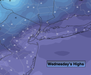
Sunny. A few late day clouds. Cooler. Highs in the lower 50s. Northwest winds at 5-10mph.
Tonight:
Increasing clouds. Lows in the lower to mid 40s in the City, the 30s inland. Winds becoming Southwest less than 5mph.
Thursday:
Sun to clouds. Highs in the mid 50s. A potential for light rain and a mix of rain/wet snow inland at night (not a big deal).
Friday:
Mostly sunny, windy and cold. Highs in the lower 40s, the 30s inland.
Saturday:
Sunny and cold. Highs in the lower 40s.
Sunday:
Mostly sunny, not as cold. Highs in the lower 50s.