Synopsis:
A very active early April pattern will be with us for the next week. Rapidly changing weather conditions are expected with a roller coaster ride in temperatures.
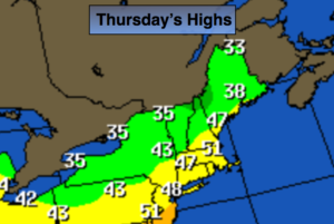
Today will feature sunshine but chilly readings with highs only in the mid to upper 40s as high pressure moves in. On Friday a weak storm will move from the Great Lakes into Southeastern Canada. A few rain or snow showers are expected in the morning.
The potential for significant wet snow or a mix has decreased for the area on Saturday. The latest computer models have an area of low pressure and front along the East coast on Saturday. The system now looks to be just far enough offshore that the threat of accumulating significant wet snow has decreased. That’s not to say that a lighter wet snow or mix won’t fall. This is the latest trend. Let’s hope a push to the Northwest doesn’t happen. I not writing this push back to the coast off entirely. Stay tuned.
Today:
Mostly sunny and colder. Highs in the mid to upper 40s. West to Northwest winds at 15-25mph.
Tonight:
Clear early, increasing clouds late. Lows in the mid 30s in the City, the 20s inland. Northwest to Southwest winds at 5mph.
Friday:
Scattered morning snow showers and rain showers, otherwise mostly cloudy. Highs in the mid 50s.
Saturday:
Chance of wet snow and or rain. Highs in the lower 40s.
Sunday:
Mostly sunny. Highs in the mid 40s.
Monday:
Sun giving way to increasing clouds. Highs in the mid 40s.
Keep it here for a no nonsense, no hype forecast.