Synopsis:
The storm that affected the area on Wednesday continues to spin over Maine and Eastern Canada. This will result in chilly, breezy conditions. An upper level low will move through today. The clouds will win the battle and flurries are possible just about anytime. Snowmelt will continue with readings remaining above freezing during the day. At night a refreeze will occur. Any standing water from melting snow will cause slippery conditions.
By the weekend high pressure will nose in from Canada with more sunshine and near normal temperatures.
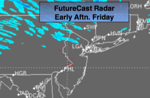
A storm will be on the map on Sunday over the Southern states. Will that storm move out the sea to the South or will it take a turn up the coast? Most of the computer models take this storm harmlessly out to sea. A few of the models have the storm skirting our area Monday with snow. There is a low threat of the storm affecting right now.
Stay tuned.
Today:
More clouds than sun with scattered flurries. Breezy. Highs in the lower 40s. West winds at 10-20mph.
Tonight:
Partly cloudy. Lows near freezing in the City, the 20s inland. West winds at 8-12mph.
Saturday:
Partly sunny. Breezy. Highs in the lower to mid 40s.
Sunday:
Partly sunny. Highs in the lower to mid 40s.
Monday:
Mostly cloudy. Low threat for some snow. Highs in the lower 40s.
Tuesday:
Partly sunny, windy and chilly. Highs around 40º.
Keep it here for a no nonsense, no hype forecast.