Synopsis:.
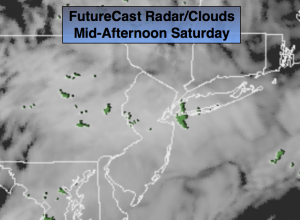
The weekend looks to be a 50/50 split. Today will be the better of the two days with mainly grey skies and early patchy fog with Spring-like readings (FutureCast above). Clouds will dominate on Sunday. There is a slight chance for a period of rain in the morning and then again later in the day.
A large storm will affect the Eastern Seaboard later Sunday, Monday and into a part of Tuesday. Heavy rains and highs winds are possible. The latest computer guidance suggests that the system will emerge from the Southern states and then move up and off the coast. The pattern is garbage for any snow to fall in our tri-state area, key factors are missing. Wind gusts up to 60mph are possible Monday especially along the coast. A High Wind Watch is in effect for the entire coast and all of New York City for Monday. One to three inches of rain is possible.
A more Winter-like pattern looks to be in the cards for the end of January and into February. Stay Tuned.
Today:
Patchy fog this morning otherwise, cloudy with a few peeks of sun. Mild. Highs in the mid 50s. West winds at 5-10mph.
Tonight:
Cloudy and mild. Lows in the mid 40s in the City, the 30s inland. Southwest to East wind at 5mph.
Sunday:
Cloudy. A chance of rain in the morning. Much of the afternoon will be dry with light rain working in toward sunset. Highs in the mid to upper 40s.
Monday:
Rain, heavy at times. Windy. East winds could gust up to 60mph along the coast. Highs in the mid 40s.
Tuesday:
Scattered areas of rain. Highs in the mid 40s.
Wednesday:
Partly sunny and mild. Highs around 50º.
Stay Tuned.
Keep it here for a no nonsense, no hype forecast.