Synopsis:
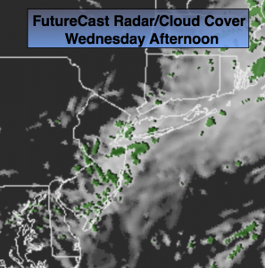
High pressure will ridge down the New England coast today. The day will start will some sunshine but clouds will once again roll in. Drizzle is possible later in the day with the onshore flow, especially by the coast.
An area of low pressure will drop out of the Great Lakes and move to the Mid-Atantic and stall for a couple of days. Strong high pressure will be over Northern New England. The combination of these systems will result in on and off showers Thursday into Friday. At this time it looks as though the steadiest and heaviest rain will stay out of our area. Cool and breezy conditions are expected through the end of the week.
Slow improvement will occur this weekend. Saturday will be mostly cloudy with stray showers or areas of drizzle (not a washout whatsoever). Sunday will be the better half of the weekend with more sunshine.
Today:
Areas of morning fog, otherwise any sun will give way to clouds, breezy. Afternoon drizzle is possible. Highs in the lower 70s. Northeast winds at 15-25mph.
Tonight:
Cloudy with drizzle and scattered showers. Lows in the mid to upper 50s. Northeast wind at 10-20mph.
Thursday:
Cloudy, breezy and cool with on and off showers and areas of drizzle. Highs in the mid to upper 60s.
Friday:
Cloudy, breezy and cool with on and off showers and areas of drizzle. Highs in the mid to upper 60s.
Saturday:
Mostly cloudy with spotty showers possible. The majority of the day will be dry. Highs in the upper 60s.
Sunday:
Partly sunny and warm with highs in the lower to mid 70s.
Stay Tuned.
Keep it here for a no nonsense, no hype forecast.