Synopsis:
Strong high pressure will continue to dominate our weather through Wednesday. This will result in pleasant readings. Nights will be crisp-fall like. It’ll warm up for Wednesday but the cool air will once again invade the area by weeks end with another Canadian high pressure system moving in. These high pressure systems are precluding storm development which is worsening the drought situation. The forecast doesn’t look good for significant/widespread rain the next several days. An updated drought statement will be issued in the coming days.
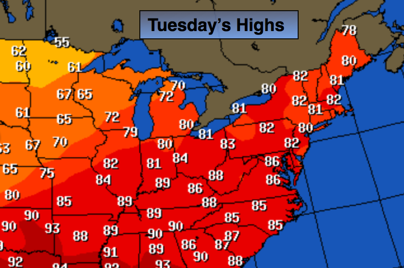
Today:
Sunny. Highs in the lower 80s. Southwest to South wind at 10-15mph.
Tonight:
Clear and cool Lows in the upper in the City, the upper 50s inland. Southwest wind 5mph.
Wednesday:
Partly sunny, warmer with highs in the mid to upper 80s.
Thursday:
Sunny and much cooler. Temperatures will be in the mid 70s.
Friday:
Sunny with seasonal readings. Highs will be in the mid to upper 70s.
Saturday:
Mostly sunny with highs near 80º.
Stay Tuned.
Keep it here for a no nonsense, no hype forecast.